The Hole in the Sky
DRONE OPERATIONS REALITY CHECK
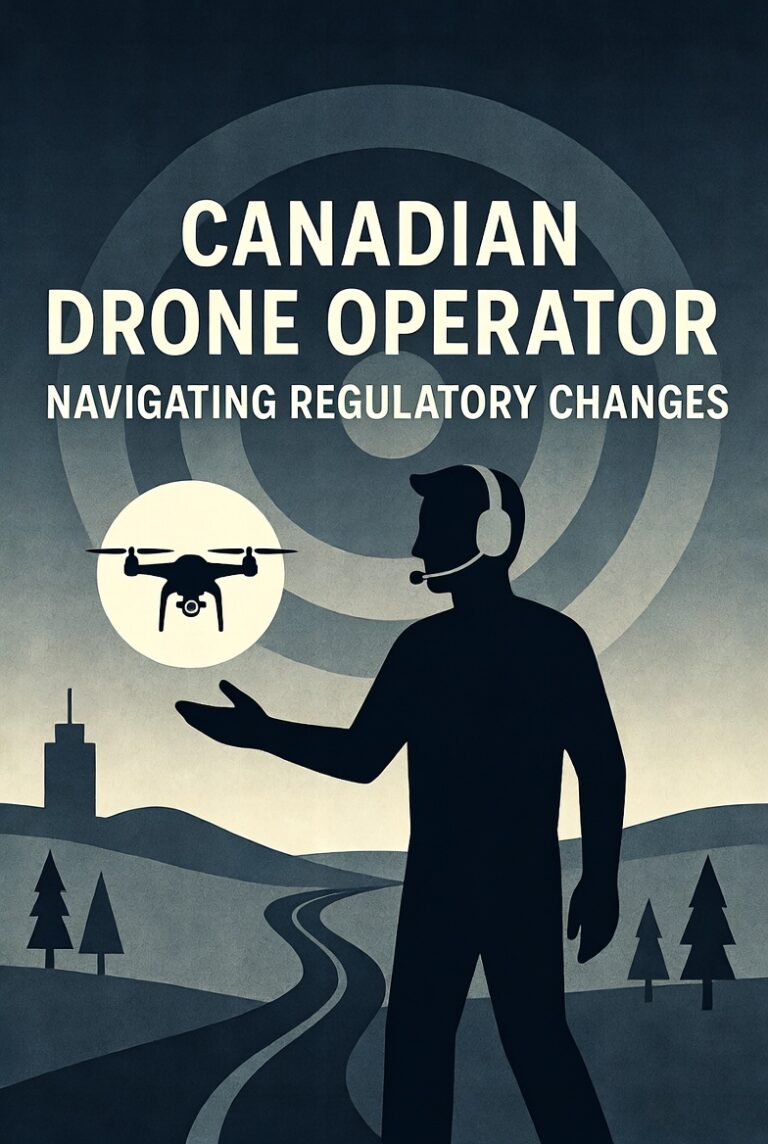
When Airspace Disappears Overnight, What Happens to Your Drone Program?
Open Flightradar24 right now and you will see something that should concern every aviation operator in Canada — including drone operators. Where one of the busiest air corridors on earth should be, connecting Europe, Asia, and Africa through the Middle East, there is nothing. A visible gap. Eight countries with closed airspace. Over three thousand commercial flights cancelled in a matter of days.
The cause is the ongoing military strikes involving the United States, Israel, and Iran that began on February 28, 2026. Iran, Iraq, Israel, Jordan, Qatar, Bahrain, Kuwait, and the UAE all declared their airspace closed. Dubai shut down all flights. Airlines are rerouting through narrow corridors over the Caucasus or detouring through Africa, adding hours of flight time and burning significantly more fuel.
Most people see this as an airline problem. It is not. It is an airspace management problem. And if you operate drones in Canada, the principle is exactly the same.
Airspace Is Not Permanent
Commercial airlines operate under the assumption that their routes will remain available. They file flight plans through established corridors that have been open for decades. When those corridors close without warning, the entire system scrambles.
Canadian drone operators function under the same assumption at a smaller scale. You have your operational area. You have your NAV Canada authorizations. You have your site survey data and your risk assessments. Everything is planned around the airspace being available.
But airspace is not permanent. It changes. Sometimes with advance notice. Often without. Transport Canada can issue NOTAMs restricting your operational area at any time — wildfire activity, VIP movement, military exercises, emergency response operations. NAV Canada can alter airspace classifications with limited notice. Provincial emergencies can ground entire regions overnight.
The Canadian Parallel
In the summer of 2023, Canada experienced the worst wildfire season in its recorded history — over 6,500 fires burning more than 18 million hectares. Temporary flight restrictions blanketed large portions of British Columbia, Alberta, the Northwest Territories, Ontario, and Quebec. Drone operators in affected areas found their operational approvals meaningless overnight.
Military exercises present the same challenge. Canadian Forces regularly activate restricted airspace for training. If your drone program operates near a military base or training area, you can lose access with days or even hours of notice. The Department of National Defence is not required to accommodate your flight schedule.
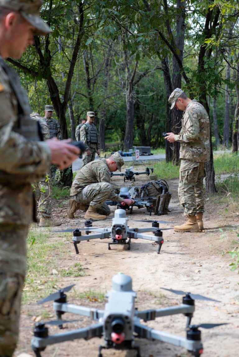
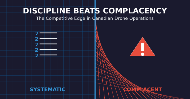
What Professional Programs Do Differently
The airlines currently rerouting around the Middle East are not improvising. They have contingency routing built into their operations. They monitor geopolitical intelligence. They have fuel reserves calculated for extended routes. Their operations control centres are staffed with people whose entire job is situational awareness.
Professional drone programs build the same resilience at their scale. They do not assume their primary operational area will always be available. They identify alternate sites. They maintain relationships with NAV Canada for expedited re-authorization. They monitor NOTAMs as part of every pre-flight process — not as a formality, but as an operational necessity.
Under the Canadian Aviation Regulations, operators conducting complex operations under an RPOC are required to have contingency procedures documented. But even basic and advanced operations benefit from this thinking. Transport Canada does not mandate contingency planning for all certificate levels, but the operational reality does.
The Situational Awareness Gap
Most organizations operating drones in Canada do not monitor airspace changes in real time. They check NOTAMs before a flight. They might check weather. But they lack ongoing situational awareness — the kind that would alert them to a TFR issued mid-mission, a wildfire developing in their operational area, or military airspace activating ahead of schedule.
The gap is not technology. NAV Canada’s NAV Drone system provides real-time airspace tools. NOTAM databases are freely available. Weather and fire mapping services exist. The gap is process. Most organizations have not built the habit of treating airspace as a dynamic environment requiring active monitoring.
If your operational airspace became unavailable tomorrow morning, could you answer three questions? Do you have a documented alternate site with current risk assessments? Does your team monitor NOTAMs during operations, not just during pre-flight? Is your contingency plan written down and trained, or does it exist only as a vague assumption that someone will figure it out?
If a global conflict can reroute the world’s largest airlines in a matter of hours, a wildfire or military exercise can ground your drone program just as fast. The difference is whether you planned for it.